Log in
All resources
Create a design
38,664 Free Images of 1888 Maps
maps made in the 17th century
maps by pieter schenk (i)
gerard valck
atlantis magni tomus quartus (biblioteca comunale di trento)
atlantis magni tomus quintus (biblioteca comunale di trento)
atlas van der hagen
maps made in the 18th century
johann baptist homann
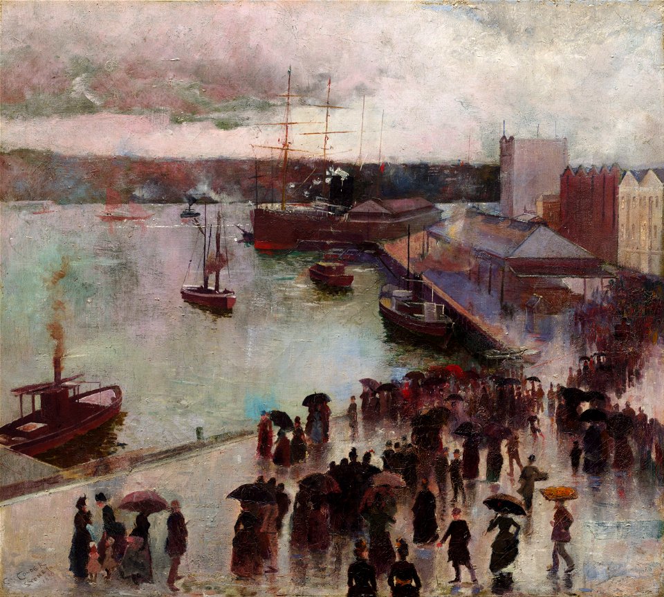
1888 paintings
maps from the mechanical curator collection
19th-century paintings of ports and harbours
oil paintings of ports and harbours
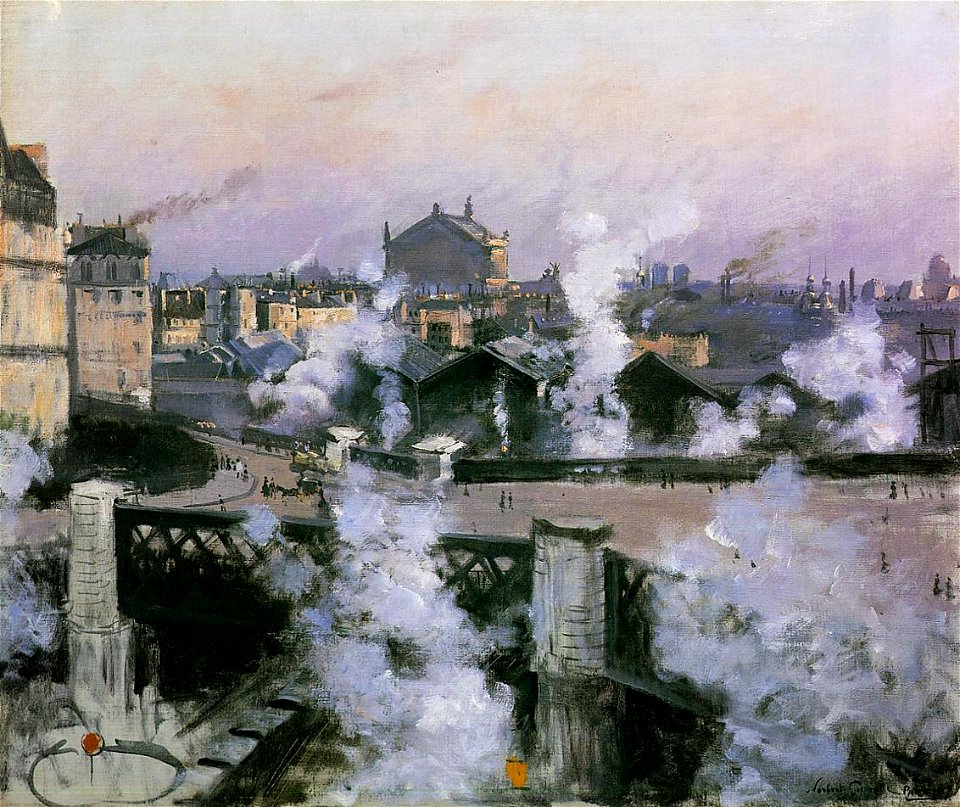
historical images of gare de paris-saint-lazare
remote views of opéra garnier
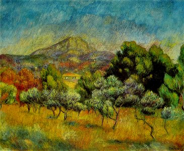
19th-century mountain paintings
pines in art
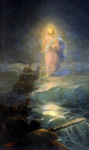
jesus christ walking on water
ivan aivazovsky
royal horse guard
1875,
group portraits with 3 people
fur fashion in 1888
19th-century landscape paintings in the nasjonalmuseet for kunst
arkitektur og design
still-life paintings of glassware
1880s still-life paintings
paintings in tate britain
sea storms in art
constantin uhde - baudenkmäler in spanien und portugal
cpb-scan from spain
maps from the mechanical curator collection available to georeference
maps from the mechanical curator collection
maps from the mechanical curator collection available to georeference
maps from the mechanical curator collection
maps from the mechanical curator collection available to georeference
maps from the mechanical curator collection
jean-baptiste wicar
neoclassicism
carta hydrographica y chorographica de las yslas filipinas
baroque painting
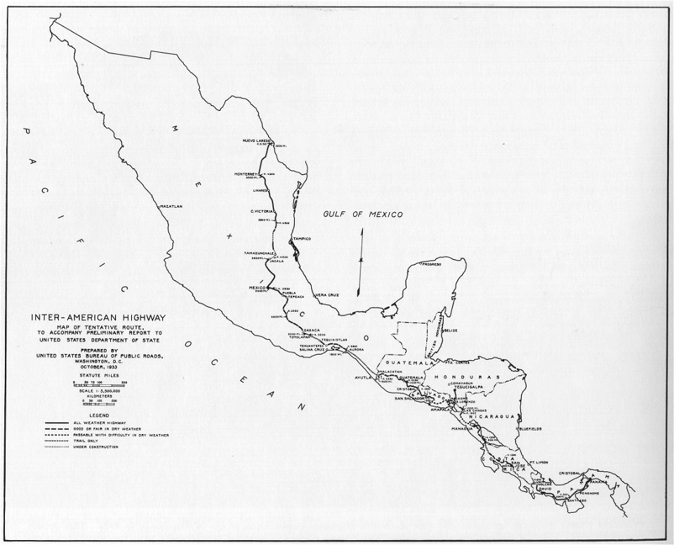
1933 in road transport
road map
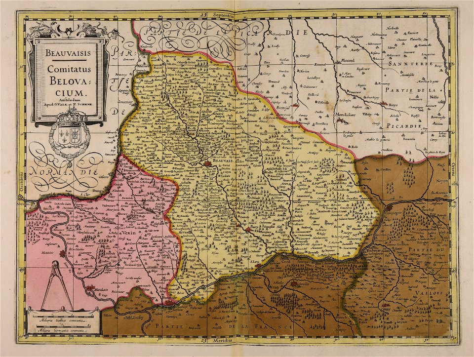
maps by pieter schenk (i)
gerard valck
maps by pieter schenk (i)
gerard valck
maps made in the 17th century
gerard valck
temperance movement
jr
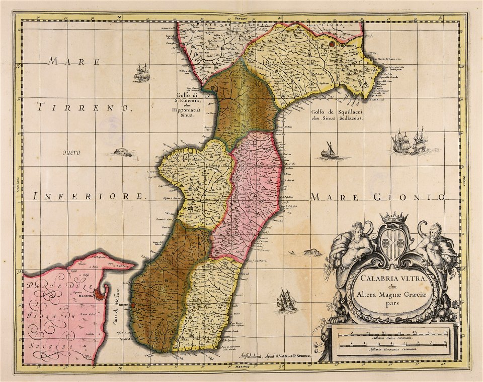
maps made in the 17th century
gerard valck
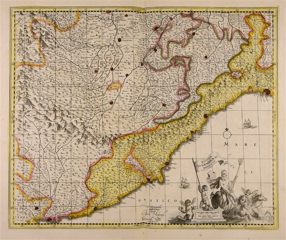
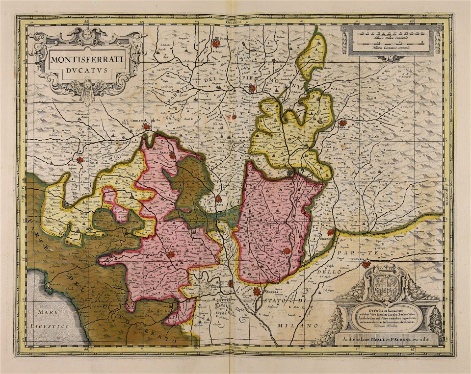
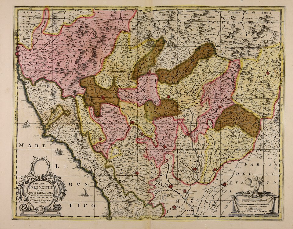
piedmont
lombardy
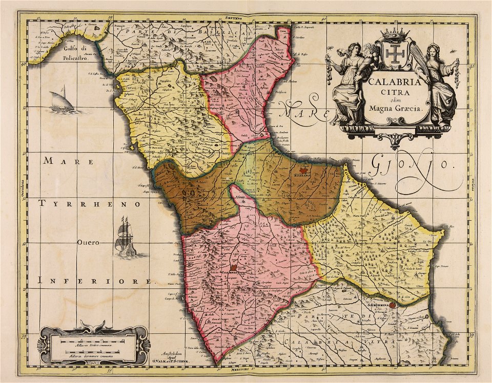
maps made in the 17th century
jan janssonius
maps made in the 17th century
gerard valck
maps made in the 17th century
gerard valck
maps made in the 17th century
gerard valck
maps made in the 17th century
gerard valck
historical images of solothurn
eiger
history of zürich
engraved maps
maps made in the 17th century
gerard valck
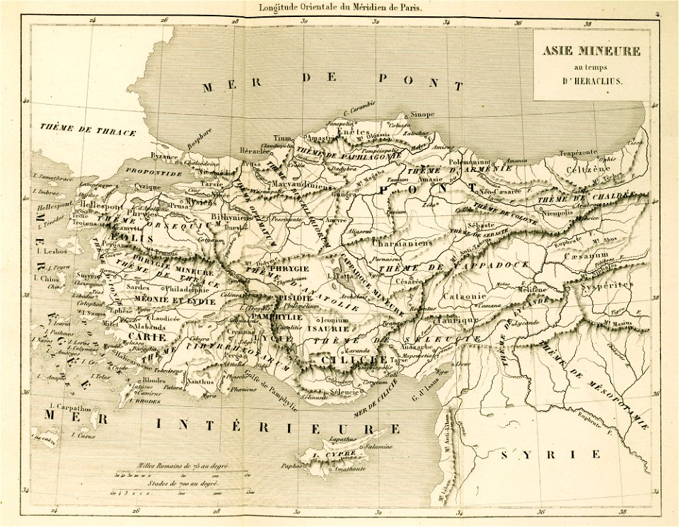
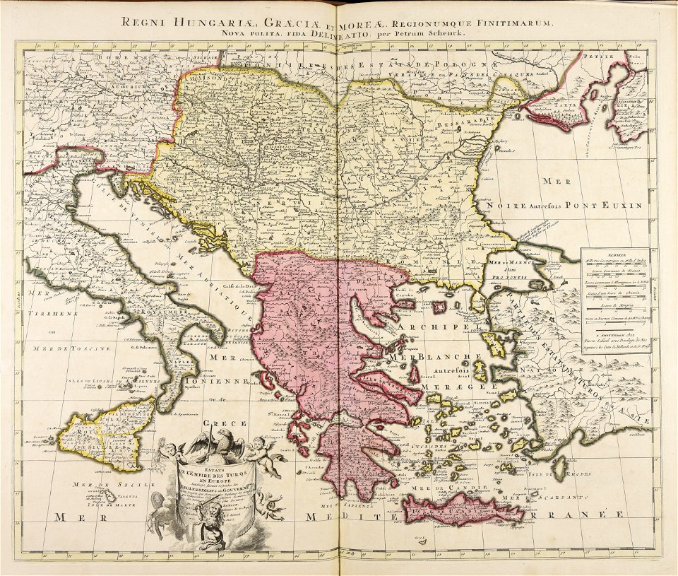
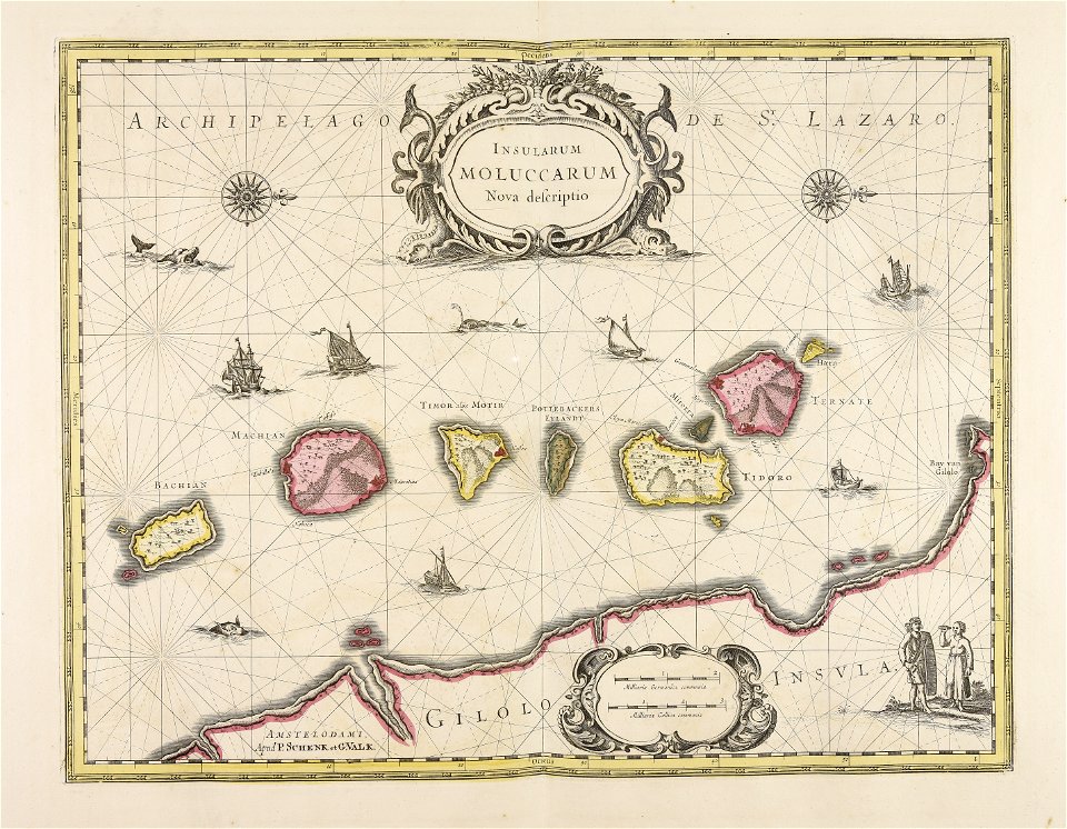
maps of the byzantine empire
maps of anatolia
maps made in the 17th century
gerard valck
maps made in the 17th century
gerard valck
georg balthasar probst (1732-1801)
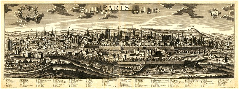
historical views of paris
maps made in the 17th century
gerard valck
maps made in the 17th century
gerard valck
old maps of pomerania
rudens
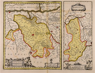
maps with cartouches
covens en mortier
amsterdam in the 1680s
maps with cartouches
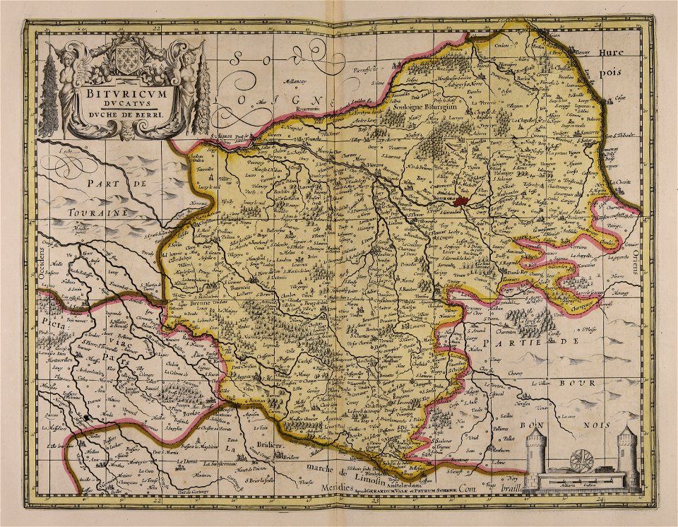
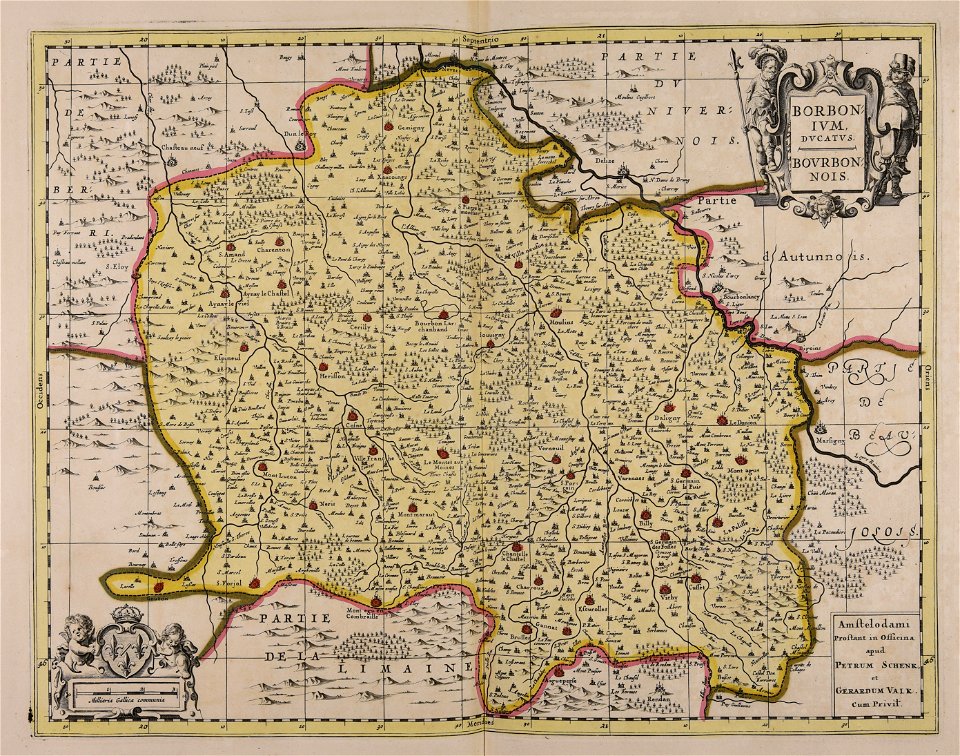
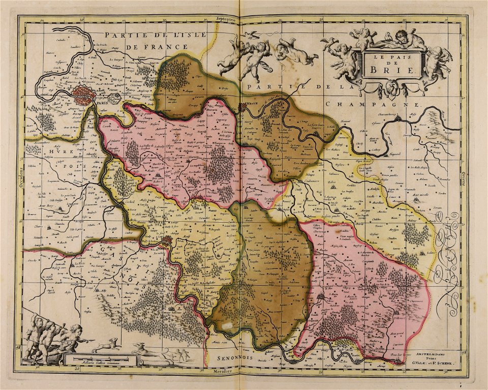
17th-century maps of france
maps with cartouches
maps made in the 17th century
gerard valck
maps of the united kingdom of great britain and ireland
ireland in the 1900s
maps made in the 18th century
maps by pieter schenk (i)
collections de la bibliothèque nationale et universitaire de strasbourg
johann baptist homann
mobile river
alabama
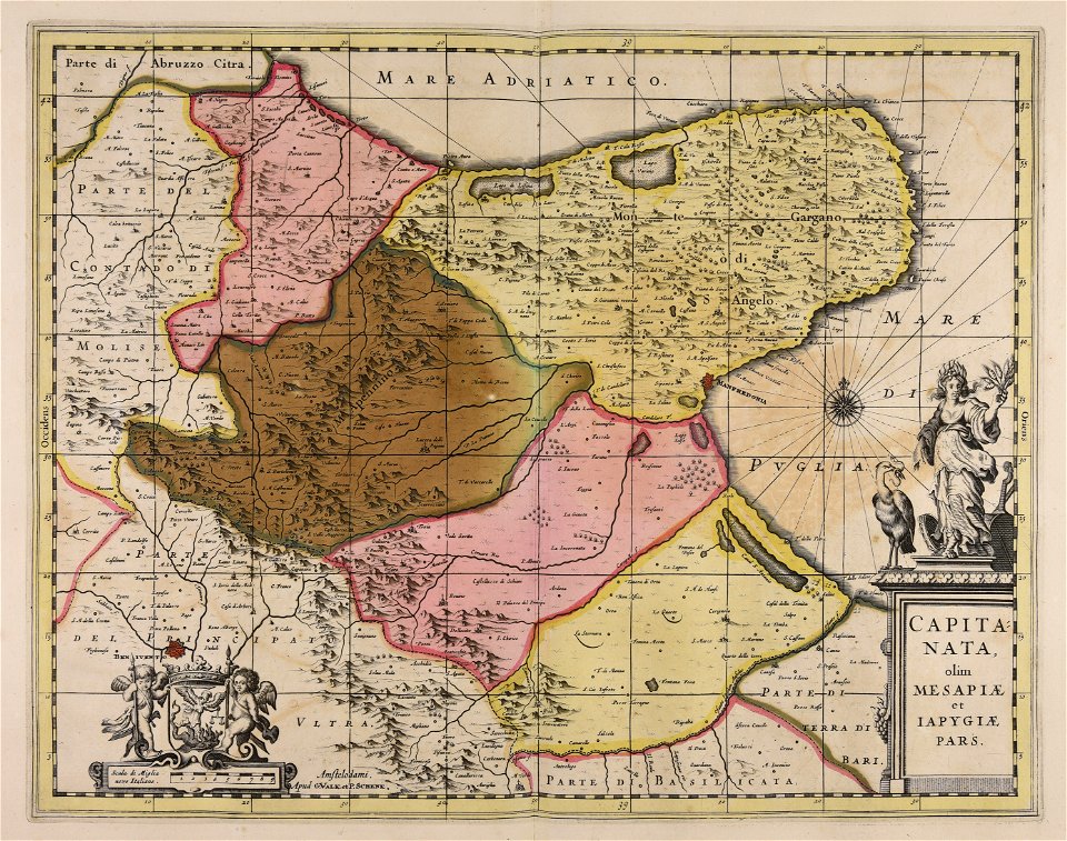
maps made in the 17th century
gerard valck
maps made in the 17th century
gerard valck
maps made in the 17th century
gerard valck
maps made in the 17th century
gerard valck
maps made in the 17th century
cornelis danckerts (ii)
maps made in the 17th century
gerard valck
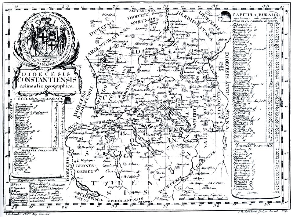
bishopric of constance
1779 in germany
maps made in the 17th century
gerard valck
maps made in the 17th century
gerard valck
maps made in the 17th century
gerard valck
jean-baptiste martenot
old maps of rennes
sala del mappamondo (palazzo vecchio)
ignazio danti
maps made in the 17th century
guillaume sanson
maps made in the 17th century
guillaume sanson
maps made in the 17th century
gerard valck
maps made in the 17th century
gerard valck
prints from manesson travaux de mars at the peace palace library
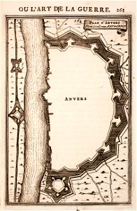
fortifications in belgium
maps made in the 17th century
gerard valck
maps made in the 17th century
gerard valck
maps made in the 17th century
gerard valck
maps made in the 17th century
gerard valck
maps made in the 17th century
gerard valck
maps made in the 17th century
gerard valck
maps made in the 17th century
gerard valck
maps made in the 17th century
gerard valck
maps made in the 17th century
gerard valck
maps made in the 17th century
gerard valck
maps made in the 17th century
gerard valck
old maps of frankfurt am main
johann baptist homann
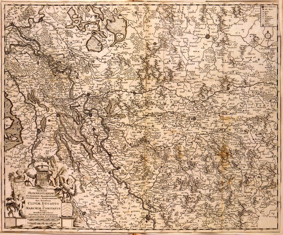
old maps of north rhine-westphalia
lower rhine region
maps of antwerp city walls
old maps of antwerp
maps made in the 17th century
gerard valck
maps made in the 17th century
gerard valck
maps by willem and johannes blaeu
coats of arms of zeeland
hyacinthe rigaud
françois arago
maps made in the 17th century
gerard valck
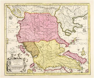
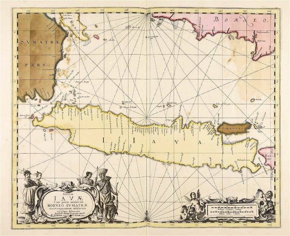
maps showing history
corfu
maps made in the 17th century
gerard valck
maps made in the 17th century
gerard valck
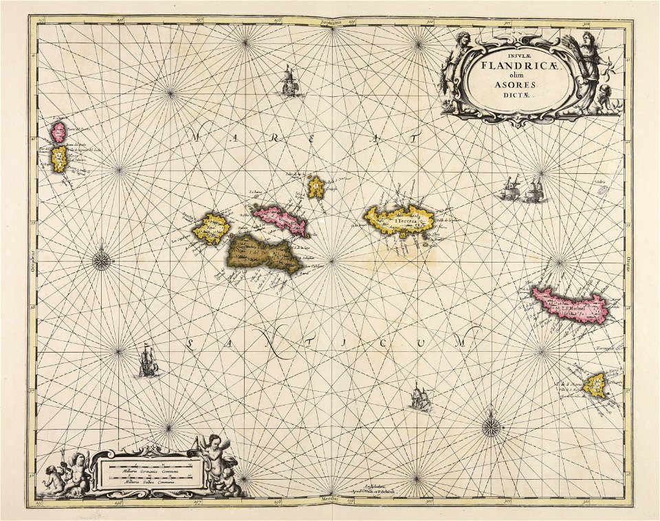
maps showing history
corfu
maps made in the 17th century
gerard valck
old maps of north brabant
old maps of south holland
old maps of south holland
merwede
maps made in the 17th century
gerard valck
maps made in the 17th century
gerard valck
maps made in the 17th century
gerard valck
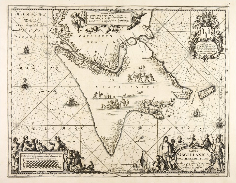
1780 in south america
1780 maps
atlantis magni tomus quartus (biblioteca comunale di trento)
maps made in the 17th century
engravings of topographia saxoniae inferioris
maps of hamburg-langenhorn
maps made in the 17th century
gerard valck
maps made in the 17th century
gerard valck
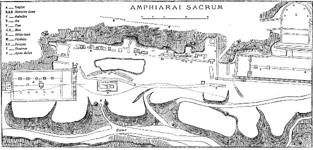
paulys realencyclopädie der classischen altertumswissenschaft band i
2
maps made in the 17th century
gerard valck
maps made in the 17th century
gerard valck
atlantis magni tomus quintus (biblioteca comunale di trento)
maps made in the 17th century
8201 - 8300 of 38,664
Next page
/ 387